Nationwide map shows area's risks of landslides
UC geosciences professor talks to WVXU about local examples
WVXU highlighted a new national map that identifies the greatest risk of landslides in every state.
University of Cincinnati geologist Daniel Sturmer helped the U.S. Geological Survey assemble the map from data he collected from more than 700 landslides in Nevada, where they pose a major threat to some populated areas.
“It's important to know where you've had landslides, because that can tell you where you will have landslides again,” Sturmer told WVXU.
Some of the hills around Cincinnati present a landslide threat as happened in 2019 when transportation officials had to close parts of Columbia Parkway.
The highest landslide risks are in the western United States and the Appalachians. But Sturmer said the risks are not limited to mountain areas.
“Generally landslides don't just happen out of the blue with no initial indicators,” Sturmer said. “If you can learn those warning signs and learn to look for them, then you can hopefully contact somebody, and bring somebody out who can help mitigate it before it's a catastrophe.”
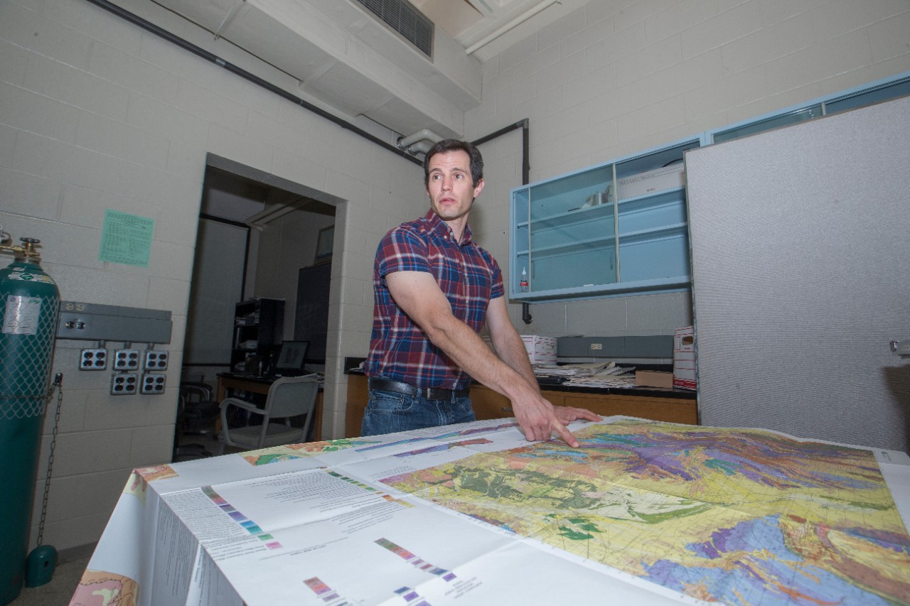
Featured image at top: UC Associate Professor Daniel Sturmer studies landslides in the Department of Geosciences. Photo/Joseph Fuqua II/UC

The U.S. Geological Survey released a new map identifying areas at greatest risk of landslides across the United States. Illustration/USGS
Related Stories
Will AI really replace your job?
February 6, 2026
As artificial intelligence seeps into more careers, some people wonder if any jobs will become obsolete in the coming years, according to 700WLW. Jeffrey Shaffer, director of Lindner College of Business’ Applied AI Lab, spoke with 700WLW on the future of AI in the workplace.
UC teams with historic landmark to preserve the past for the future
February 6, 2026
The landscape at Cincinnati’s historic Harriet Beecher Stowe House museum has settled in for winter, under a hard coat of frost and snow. But once spring rolls around, it will show a transformation, thanks in part to the history department at UC’s College of Arts and Sciences. The Beecher Stowe House, located at 2950 Gilbert Ave., serves as a hub for the community and historians interested in the life and political activism of the famed abolitionist. Harriet Beecher Stowe wrote the groundbreaking “Uncle Tom’s Cabin” while living there, and the home was a stop for fugitive enslaved people on the Underground Railroad prior to the Civil War.
Portman Center gets DOE grant to improve civil discourse
February 6, 2026
The Portman Center for Policy Solutions at the University of Cincinnati received a nearly $800,000 grant from the U.S. Department of Education to improve civil political discourse.
